Every listing description for a home in Los Ranchitos says some version of the same thing: low taxes, no curbs, no streetlights, private and quiet. Read enough of them and it starts to sound like a permanent fact about the place, the way "flat lot" or "mountain views" describes something fixed. It isn't. Somewhere in a Temecula planning office, the roads that run through this neighborhood carry a classification that calls for four lanes, sidewalks, and streetlights, and that classification has outlasted three separate rounds of resident pushback since 2020 without ever actually being removed from the page.
This year, for the first time since 2005, the city is rewriting the whole document. That makes 2026 the year this either gets settled for real or gets carried forward for another two decades on paper nobody in Los Ranchitos asked for.
A Neighborhood Built to Avoid What's Now Planned For It
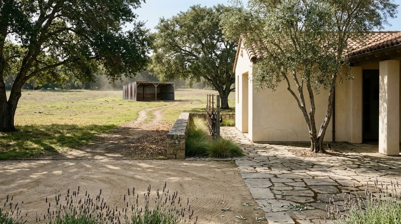
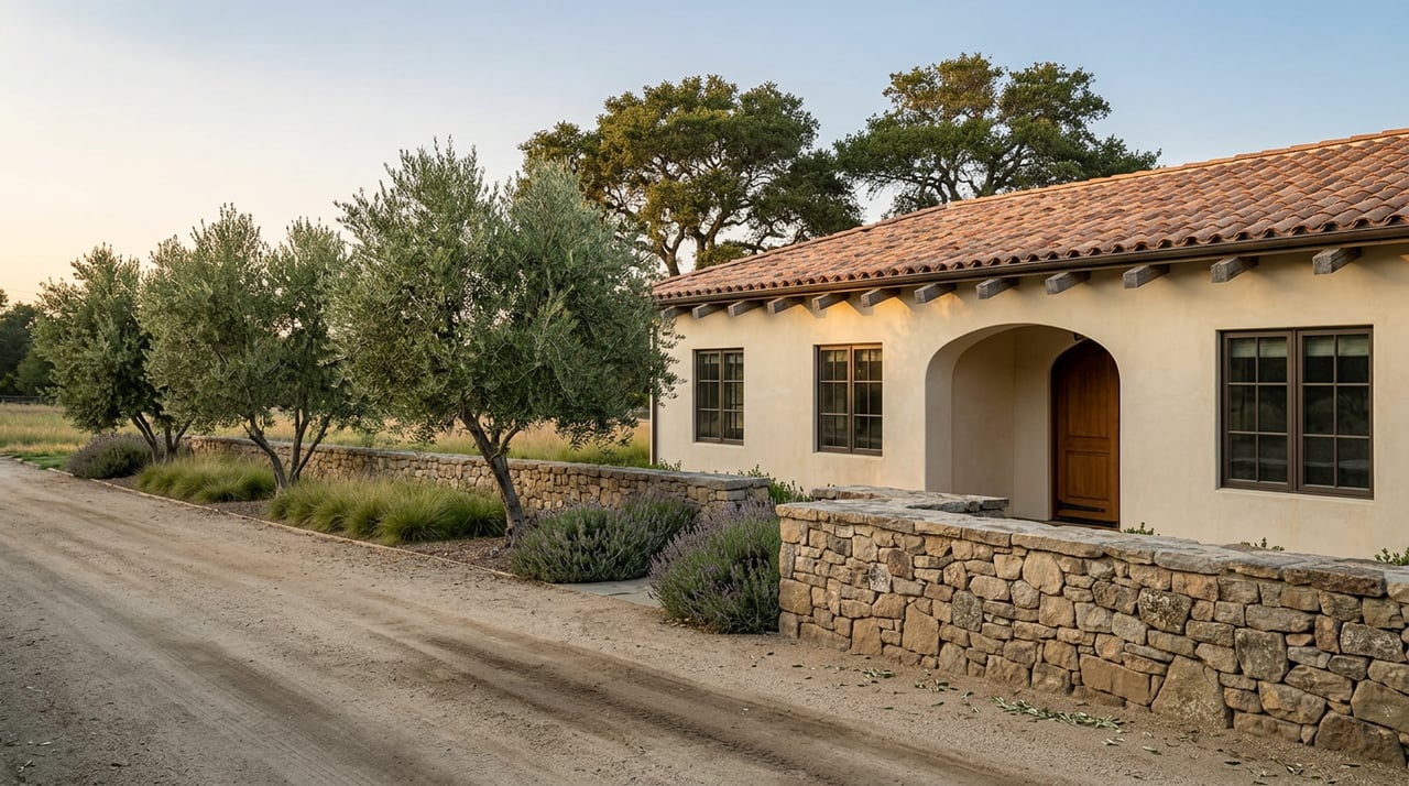
Los Ranchitos took shape starting in 1966, developed by Henry J. Kaiser, the same builder behind the master plan for Irvine. The design called for 189 parcels, most between two and five acres, and it deliberately skipped the infrastructure that came standard everywhere else in Southern California: no streetlights, no curbs, no gutters. Just winding roads, mature trees, and white fencing separating pastures where horses graze right up against the pavement. Within the neighborhood, Santiago Estates carries its own reputation as the community's highest-end pocket, sometimes called Millionaire's Row.
The absence of curbs and streetlights was never an oversight. It was the point. A horse property with a driveway that opens straight onto a rural-feeling road is a different product than one that opens onto a suburban arterial with a sidewalk and a streetlight pole. The Jack Williams Trail System, which the homeowners association has spent years maintaining and gating against unauthorized vehicle use, only works as a quiet equestrian network because the roads around it have stayed narrow.
The Line on the 2005 Map That Never Went Away
Here's the part most residents don't find out until they're already deep into a City Council agenda: the current general plan, adopted in 2005, classifies portions of the Ynez Road and De Portola Road corridor running through Los Ranchitos as a secondary arterial, a designation that calls for four travel lanes. That classification was never built out. The roads stayed two lanes. But the designation sat there, and every few years the city has pulled it back out as a real project.
It happened in 2020, when the LRHOA turned out members for City Council meetings to oppose the widening. It happened again in 2023, when a budget workshop and Planning Commission agenda revived the same proposal. And it's happening again now, folded into the city's General Plan Update, a roughly two-year process that began with an 18-member advisory committee appointed in September 2025.
At the committee's kickoff meeting on October 9, 2025, Los Ranchitos resident Lee Roseau pushed back on the idea that a two-decade-old classification deserves automatic renewal, telling the committee not to assume a provision belongs in the new plan just because it sat in the 2005 version.
Five weeks later, at the committee's second meeting on November 13, 2025, this time focused specifically on mobility and circulation, more Los Ranchitos residents returned to make the same argument with sharper detail.
"Our ask tonight of you is to please stop the planned widening from two lanes to four lanes in front of our homes."
That was longtime resident Louis Todd, addressing the General Plan Advisory Committee directly. He wasn't alone.
What 67 Driveways Actually Looks Like
The testimony that night got specific in a way that generic traffic-safety comments usually don't. Alan Hazleton described the corridor's current truck traffic in blunt terms: double tractor trailers, rock trucks, cement trucks, all moving through a residential stretch that was never built to arterial standards. He argued that widening would raise speeds and formalize the sidewalks and streetlights the neighborhood was designed without, changing its character permanently rather than fixing anything.
Dr. Eric McKilliken, a Los Ranchitos HOA board member, put a number on it: the corridor serves roughly 67 driveway accesses, representing about 34 to 35 homes. He recounted a past high-speed crash that tore through fencing and took out a mailbox, the kind of incident that reads differently on a two-lane road with wide shoulders and horse crossings than it would on a numbered city arterial.
Dr. Jennifer Rosenberg, a veterinarian who treats horses throughout the neighborhood, spoke to the mechanics of it. Pulling a 40-foot trailer into a driveway already requires room to maneuver. More pavement between the road and the trails, she argued, means less margin for the horses and riders who cross that pavement daily.
City staff didn't dismiss the concerns outright. The consultant leading the transportation analysis, Katie Cole, confirmed that the existing map does show De Portola and La Paz designated as a secondary arterial, and said the General Plan process would revisit that classification along with truck routing and safety data before anything gets finalized.
Two Projects Named Ynez Road, Two Very Different Statuses
Here's where it gets easy to get confused, and where knowing the difference actually matters if you live here. The city currently has two separate Ynez Road projects moving on two separate tracks.
| Project | Segment | Status as of 2026 |
|---|---|---|
| Ynez Road Improvements, Phase I | Rancho Vista Road to Tierra Vista Road (roughly 1,600 feet) | Environmental review complete. A Mitigated Negative Declaration was adopted January 27, 2026, and the project is moving through design and right-of-way clearance. |
| Ynez Road Improvements, Phase II | Rancho Vista Road to La Paz Street, split into sections IIA and IIB | Included in the city's 2026-2030 Capital Improvement Program, but tied directly to the General Plan Update. Phase IIA is slated to begin once Phase I finishes. This is the segment running past Los Ranchitos homes. |
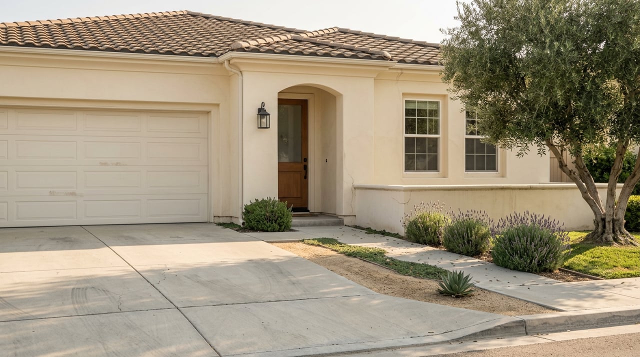
Phase I is already largely settled and will proceed regardless of how the General Plan debate turns out, because it sits north of the contested stretch. Phase II, which includes the Santiago Road to La Paz Road segment that runs directly past Los Ranchitos driveways, is the one still tangled up in the classification fight and the one residents were addressing at the November meeting. The city's own project description for Phase II explicitly calls for street lights and curb and gutter completion alongside the lane widening, which is exactly the outcome the neighborhood has organized against three times now.
What This Means If You Live Here
The General Plan Advisory Committee is scheduled to keep meeting through fall 2026. As of last fall, city staff were targeting a draft plan for summer 2026, with environmental review to follow after that. Nothing about the Ynez-De Portola-La Paz classification is decided. The Planning Commission and City Council hold final approval authority over whatever the committee recommends, and that vote is still ahead.
A few practical notes for anyone in the neighborhood who wants to stay ahead of it rather than catching up after the fact:
- GPAC meetings and materials are posted through the city's general plan project site, and meetings are open for public comment the way the November session was.
- The distinction between Phase I and Phase II matters. If you hear that Ynez Road construction is starting, ask which segment. The Rancho Vista to Tierra Vista stretch is not the same fight as the one in front of Los Ranchitos homes.
- The 2026-2030 Capital Improvement Program already lists Phase II as budgeted, which is not the same as approved for construction. Budgeted line items in a five-year CIP can and do get amended.
- The LRHOA has tracked this issue since at least 2020 and has historically organized turnout for the meetings that matter most. If the trail system, the horse crossings, and the two-lane roads are part of why you live here, that's the group whose updates are worth watching.
None of this is a prediction about which way the vote eventually goes. It's a record of what's actually happened so far, and a reminder that the character everyone associates with Los Ranchitos, no streetlights, no curbs, wide shoulders for horses, is sitting on a classification the city can still change either direction before the next general plan is adopted.
If you're weighing a move into Los Ranchitos, or already own here and want a clearer read on how neighborhood-specific issues like this one tend to play out, Gena Elfelt has spent years working both the suburban and ranch sides of the Temecula Valley and can walk you through what's actually settled versus what's still in motion.