Looking at a ranchette in Santiago Ranchos and wondering how much of that acreage you can actually use? You are not alone. In Murrieta’s foothills, terrain, setbacks, easements, and services can turn a 2- to 5-acre parcel into a much smaller practical footprint. In this guide, you will learn what “usable acreage” really means here, what shrinks it, and how to evaluate a specific parcel with confidence. Let’s dive in.
What “usable acreage” really means
Usable acreage is the portion of a parcel where you can reasonably place a home, driveway, barn or shop, pastures, and other planned uses without extraordinary engineering, permit barriers, or recurring access problems. Think of it as the land you can work with now, not just what appears on the deed.
It is also purpose-based. A slope that is too steep for a barn pad may still be fine for grazing. A strip under a utility line may be usable for fencing or parking but not for a structure. Define your intended uses first, then measure the site against them.
Common reasons acreage is not fully usable include steep slopes, flood-prone areas, protected habitats, recorded easements and rights-of-way, road and building setbacks, deed or conservation restrictions, and areas you cannot practically access without new road construction.
Why local rules matter in Santiago Ranchos
Santiago Ranchos parcels sit within the City of Murrieta. Development standards come from the City’s Municipal Code and General Plan, plus the zoning designation assigned to each parcel. Some nearby properties can also have county-level overlays or recorded conditions that carry forward.
Before you plan improvements, confirm:
- Your parcel’s zoning and standard setbacks with the City of Murrieta Planning Division.
- Whether fire-safety standards affect building placement, driveway width or grade, turnarounds, hydrants, and defensible space zones.
- Whether you will connect to municipal water and sewer or rely on a well and septic system. Septic design and setbacks can be the deciding factor when sewer is not available.
Local rules often make the difference between a wide building envelope and a narrow one. A quick zoning check up front can save weeks later.
Site features that shrink usable acreage
Slope and topography
Steeper ground raises costs for grading, drainage, and retaining walls, and it can limit driveway locations. As a general practice threshold, slopes above about 25 to 30 percent are often considered significantly limiting for conventional construction, though exact limits depend on local rules and site engineering. A topographic survey with contour lines is the best way to see the slope distribution and identify potential pad areas.
Setbacks and building envelopes
Zoning districts set front, side, and rear setbacks. Hillside or riparian setbacks may also apply. When you subtract these buffers from the parcel, you get the legal building envelope. Everything from a main residence to barns and arenas must fit while also maintaining required clearances.
Easements and access
Recorded utility corridors, road rights-of-way, and access easements reduce where you can build and may prohibit structures over those areas. Private roads can add responsibilities through maintenance agreements and can limit access during wet weather. Review title documents to see all recorded items and confirm whether access roads are public or private.
Floodplains and seasonal drainages
In Murrieta’s foothills, many parcels include drainage swales or seasonal channels. If part of a parcel lies in a mapped flood zone, you may face elevation requirements or building restrictions that take portions of land off the table for structures. Map the on-site drainage and confirm any floodplain constraints before you commit to pad locations.
Soils and geotechnical constraints
Expansive clays, shallow bedrock, or highly erodible soils can increase foundation and grading costs and sometimes reduce buildable areas. A soils review and, where indicated, a geotechnical study help you understand pad feasibility and drainage design.
Septic and well siting
When sewer is not available, septic systems require areas with acceptable percolation rates plus setbacks from wells, structures, and property lines. A successful percolation test and a preliminary septic layout can be the key that unlocks your building plan. Well locations also need separation from septic components and can influence where you place outbuildings.
Environmental and habitat considerations
Protected species, wetlands, or habitat conservation areas can limit development or require mitigation. A biological screening is wise when vegetation or drainages suggest potential habitat.
Fire-safety and defensible space
In high fire hazard areas, you will need clear zones around structures and compliant access for emergency vehicles. Driveway grades, widths, and turnarounds, along with brush management, can reduce the practical area for improvements and add upfront and ongoing costs.
Conservation, CC&Rs, or HOA rules
Some parcels have recorded restrictions or CC&Rs that limit outbuildings, fencing, or animal facilities. Always verify these items in the preliminary title report.
How usable acreage affects your plan and value
- Building placement and orientation. Usable area determines where you can site a house, barn, and auxiliary structures while meeting setbacks, septic and well clearances, and defensible space. Limited usable area can push you toward multi-level designs, longer driveways, or more earthwork.
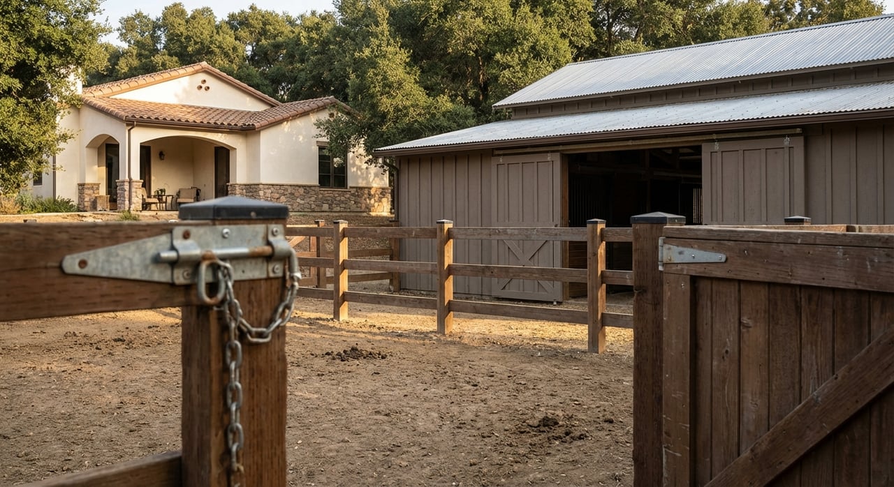
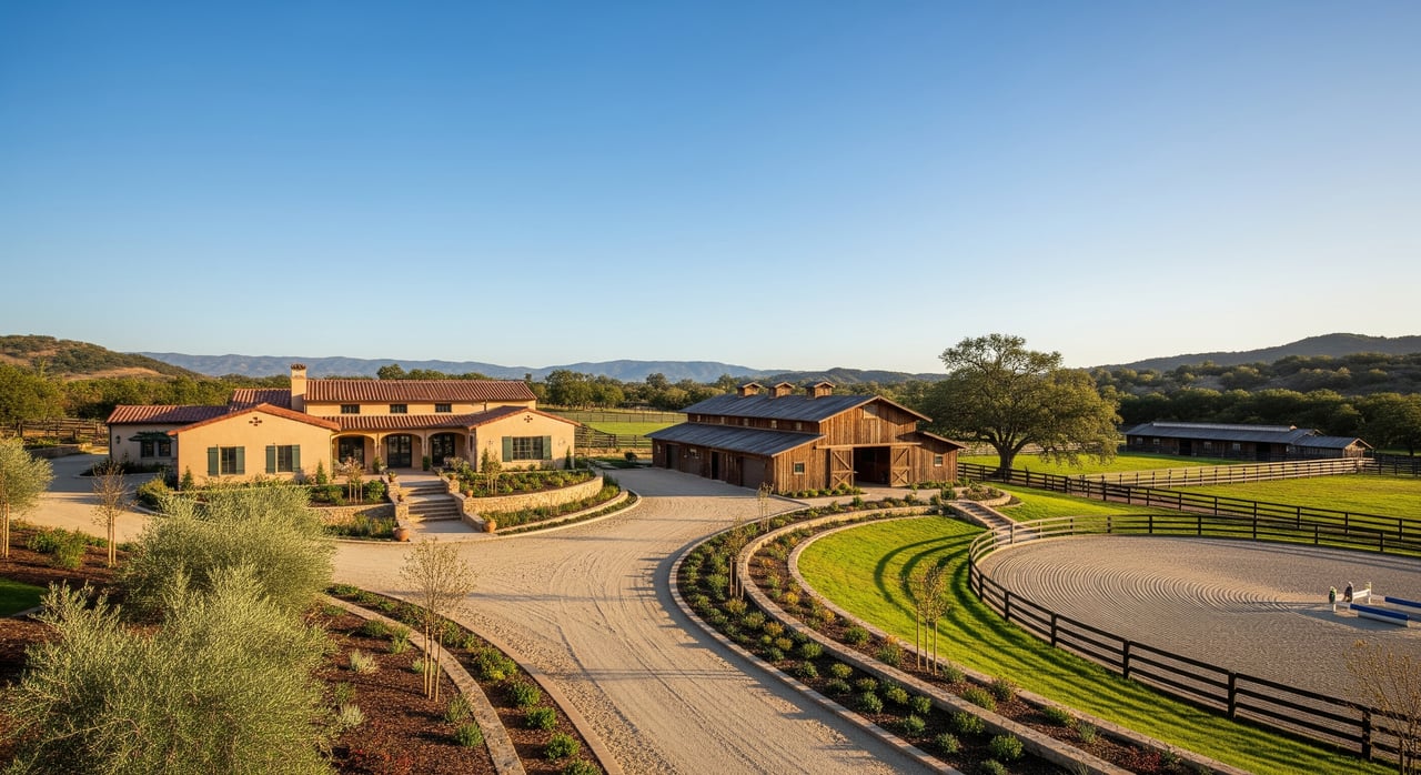
- Outbuildings and agricultural uses. Arenas, paddocks, corrals, and large barns need flatter, contiguous ground. Fragmented or steep acreage can reduce options for equestrian facilities or equipment access.
- Access and circulation. Driveways over steep slopes or across seasonal drainages cost more to build and maintain and may be harder to use in heavy rain. Private road maintenance also affects your ongoing budget.
- Utilities and services. Parcels without municipal water or sewer have higher upfront costs for well drilling and septic systems and can face stricter permit requirements.
- Market value and resale. Buyers often pay a premium for contiguous, easily buildable acreage compared with land that is steep, encumbered, or split by drainages. Appraisers consider effective usable area, and constrained parcels typically trade at a discount per acre.
- Insurance and financing. Wildfire exposure, flood status, and septic or well issues can raise insurance costs or influence lender requirements. Some loans require engineering or environmental reports when hazards are present.
A practical due-diligence plan for Santiago Ranchos buyers
Step 1: Define uses and must-haves
List what you need today and later. Examples include a single-level home with a barn and arena, a shop with RV access, or small livestock with cross-fencing and a simple driveway. Clear priorities help you judge whether a parcel’s usable area fits your plan.
Step 2: Gather documents early
- Preliminary title report, recorded deed, and any CC&Rs or conservation easements.
- Assessor parcel map and legal description.
- Zoning designation and current development standards from the City of Murrieta.
Step 3: Walk the land and review slope
- Visit the parcel at different times of year to see drainage patterns and access during wet weather.
- Order or review a topographic survey with contours. Flag potential pad areas and driveway routes.
Step 4: Verify utilities and septic feasibility
- Confirm water source. If municipal water is available, check connection requirements. If not, confirm well permit needs.
- Check sewer availability. If unavailable, coordinate percolation testing and a preliminary septic layout with Riverside County Environmental Health.
Step 5: Screen for flood, fire, and habitat
- Review FEMA flood maps and local flood control information for floodplain encumbrances.
- Check Cal Fire Fire Hazard Severity Zone maps and confirm defensible space and access standards with the local fire department.
- Where vegetation or drainages suggest habitat, consider a biological screening.
Step 6: Understand access and road obligations
- Confirm whether roads are public or private and request any road maintenance agreements.
- Evaluate driveway feasibility for grade, switchbacks, and emergency vehicle turnarounds.
Step 7: Plan for geotechnical and grading
- If slopes are moderate to steep or soils are uncertain, budget for a geotechnical report to guide pad placement and drainage.
- Ask about prior reports. If existing studies are dated, expect to update them for current permits.
Step 8: Budget and sequence
- Budget line items may include survey, perc testing, geotechnical study, biological review, driveway engineering, grading, retaining walls, septic installation or sewer fees, well drilling if needed, and brush clearance.
- Typical sequence: zoning and feasibility, surveys and soils work, permit applications, construction. Schedule percolation tests early since results can change your plan.
Smart questions to ask sellers or listing agents
- Are there any recorded easements, CC&Rs, or conservation restrictions?
- Is the road public or private, and how are private road costs shared?
- Is the property on municipal water and sewer, or well and septic?
- Have there been prior perc tests, geotechnical reports, or permits for outbuildings?
- Any known history of slope movement, flooding, or wildfire damage?
Quick ways to gauge usable area on a showing
- Look for flat to gently sloped pads that align with likely driveway access and utilities.
- Imagine the building envelope after setbacks. Mentally pull structures back from front, side, and rear boundaries.
- Trace drainage swales and seasonal channels. Avoid placing your imagined pad in or across them.
- Note any visible utility corridors, box markers, or roadway edges that hint at easements.
- Consider defensible space around a future structure and whether that pushes the build site inward.
These field checks will not replace formal studies, but they help you compare parcels before you invest in reports.
What this means for your search in Santiago Ranchos
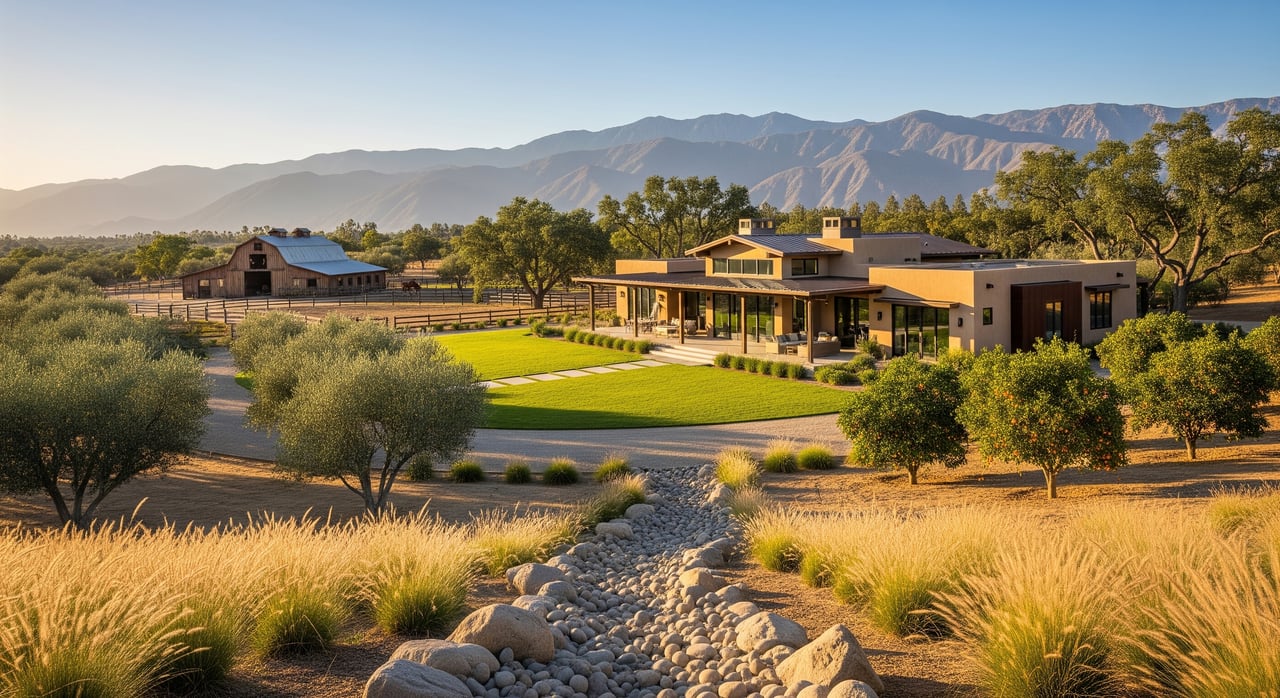
Expect variety. Many ranchette parcels in Murrieta combine gently rolling ground with steeper segments and seasonal drainages. A 2- to 3-acre lot might offer a prime half-acre pad with room for a barn and small paddocks, while the rest is best for grazing, trails, or privacy. Another parcel of the same size could have a narrow ridge top that calls for creative design or additional grading.
Your goal is not to maximize every square foot. Your goal is to confirm that the usable acreage comfortably fits your home, access, and any key outbuildings, with a margin for code requirements and future needs.
If you want a clear-eyed read on what is feasible, partner with a local agent who understands both Murrieta’s municipal process and ranch practicality. That combination helps you spot real opportunities, avoid surprises, and negotiate with confidence.
Ready to evaluate a specific parcel in Santiago Ranchos? Reach out to Gena Elfelt for locally grounded guidance on zoning, site constraints, and a practical due-diligence plan tailored to your goals.
FAQs
How much of a 2-acre lot in Santiago Ranchos is usable?
- It depends on setbacks, easements, slope, floodplain, and septic or well siting; get a topographic survey and review title and zoning to estimate the effective buildable area.
Are slopes over 25 percent always unbuildable in Murrieta?
- Not always, but steep slopes raise costs and permitting hurdles; local grading rules and geotechnical recommendations will dictate feasibility.
Do I need a new percolation test in Riverside County?
- Many permits require recent perc data even if past tests exist; confirm current requirements with the county’s environmental health department.
What if part of my parcel is in a FEMA flood zone?
- Structures may need elevation or could be restricted in certain zones; check maps and local flood control standards and consider insurance implications.
Who pays for private road maintenance in Santiago Ranchos?
- Typically the property owners served by the private road under a recorded agreement or HOA; verify obligations in title documents before you buy.